|
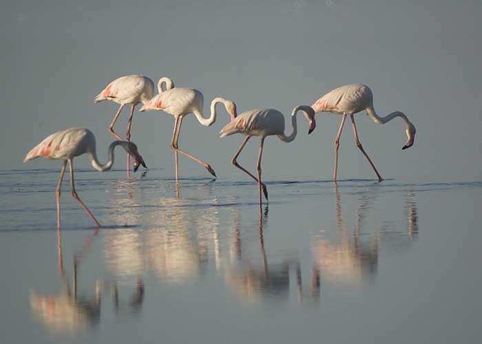
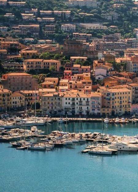
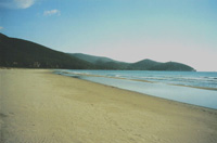
Tuscany’s largest stretch of seaside is in an area called the Maremma, a wide strip of fertile land that separates the sea from the mountains. The Maremma is a lesser known part of Tuscany, extending south towards Lazio and Rome, that has been called the “Wild West” of Italy. The Entruscans, who preceded the Romans, originally developed the area and there are numerous examples of their civilization which can be visited. The coast here is unspoiled, and the swimming in the Tyrrhenian Sea is refreshing and relatively uncrowded compared to other seaside areas. One of the more famous parts of this area is the Argentario, a peninsula that is connected to the mainland by a causeway at the ancient town of Orbetello. Its lively port towns of Porto Santo Stefano and Porto Ercole are well-known boating marinas and offer access to several offshore islands such as Giglio. Its steep cliffs and Mediterranean landscape afford much natural beauty. The World Wildlife Fund has established a protected area off the Argentario, the Tombola di Feniglia, known for its long sandy beach and protected lagoons for birds such as the pink flamingo. For those seeking nature walks, the nearby Parco Nazionale della Maremma has trails through the pinewoods and Mediterranean scrub. Not far away are historic towns of Pitigliano, Sovana, Sorano; the hot springs of Saturnia; Viterbo, the “city of the pope.
|
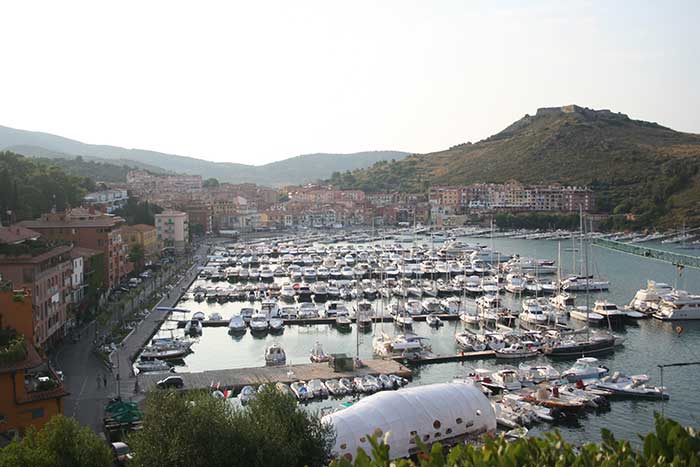 |
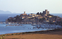
| Porto Ercole |
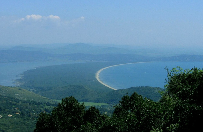
Monte Argentario is a promontory stretching towards the Tyrrhenian Sea in correspondence of the two southernmost islands of the Tuscan Archipelago, Giglio and Giannutri. The promontory was an island in the past, but the sea currents and the Albegna river joined it with the mainland through two so-called tomboli (stretches of land), the Tombolo of Giannella and the Tombolo of the Feniglia. Monte Argentario borders the comune of Orbetello, which is located on the middle dam between the two lagoons. |
|
||
 |
|||
Flamingoes
|
|||
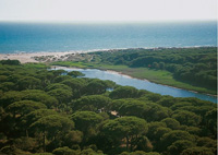
| Monte Argentario harbors the largest lagoon on the Tyrrhenian Sea as well as one of Italy's most important bird sanctuaries. About halfway between Rome and Florence, it makes a wonderful choice for birdwatchers. Take a guided tour of the WWF oases at Orbetello (open Sept. 1-April 30) and Burano (open Aug. 1-May 31) at 10 am and 2 pm on Thursdays and Sundays. Or you can go on your own: for Orbetello drive along the southern edge of the promontory (called Tombola di Feniglia); for Burano Lake take the northern shore road and then walk along the dunes. Or take the 4-hour walk around the coast from Feniglia to Burano. |
|||
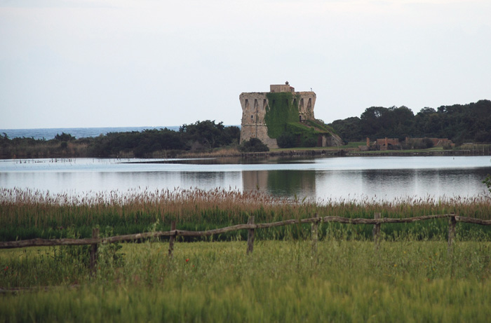
| Capalbio Burano Lake, Lago di Burano |
|||
Extending parallel to the coast, Lake Burano and the immediately surrounding district make up one of the most important wetland habitats in Italy in terms of the integrity of the environment and accommodation and teaching facilities. Lago di Burano is a typical Mediterranean coastal lagoon behind a line of sand dunes. |
|||
 |
|||
La Torre di Buranaccio, Lago di Burano, Capalbio |
|||
| Tombola di Feniglia |
|||
This protected area, the Tombola di Feniglia, is known for its long sandy beach lined with pines and protected lagoons for birds including herons, pink Flamingos and Corsican Seagulls.
|
|||
|
Enlarge map Monte Argentario |
|||
|
|||
|
|||
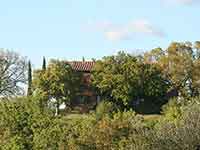
Tuscan farmhouses | Podere Santa Pia |
||||
 |
 |
 |
||
 |
 |
 |
||
Talamone |
Marina di Albarese The most famous part of the Maremma is the Parco Naturale della Maremma, otherwise known as the Parco dell'Uccellina |
Principina a Mare The Ombrone River located along the coast of Maremma Grossetana, where it flows into the Tyrrhenian Sea in Principina a Mare. |
||
Kompass 651 (2005), Maremma, Argentario, Grosseto, Isola del Gigilo 1 : 50 000.
|
||||