|
Calanchi in the valley beween Podere Santa Pia, Federano and the torrent Rancida [1] |
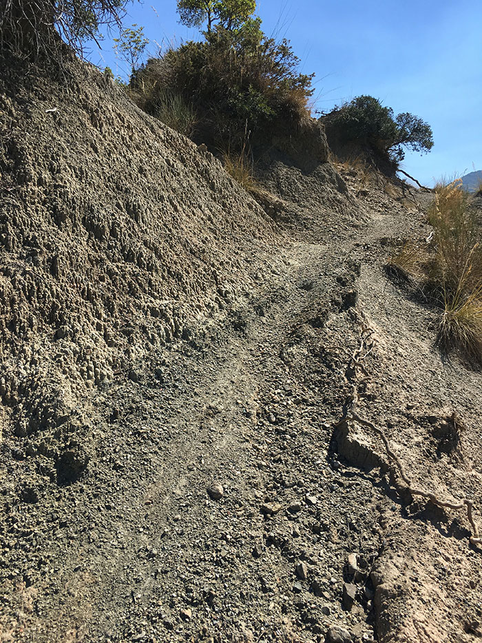
Calanchi in the valley beween Podere Santa Pia, Federano and the torrent Rancida |
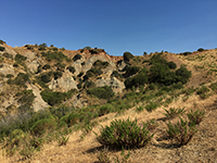
Calanchi in the valley below Santa Pia [1]
|
Mappa Castiglioncello Bandini | Ingrandire mappa
|
|
Castiglioncello Bandini album
|
||||
 |
 |
 |
||
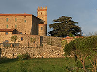
Castiglioncello Bandini, castello
|
Castiglioncello Bandini, Calanchi in the valley beween Podere Santa Pia, Federano and the torrent Rancida |
Calanchi nella valle sotto Podere Santa | ||
 |
 |
 |
||
Album Monastero di Monte Oliveto Maggiore
|
Monte Oliveto Maggiore
|
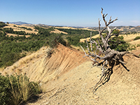
Deserto di Accona | ||
|
||||
|
||||